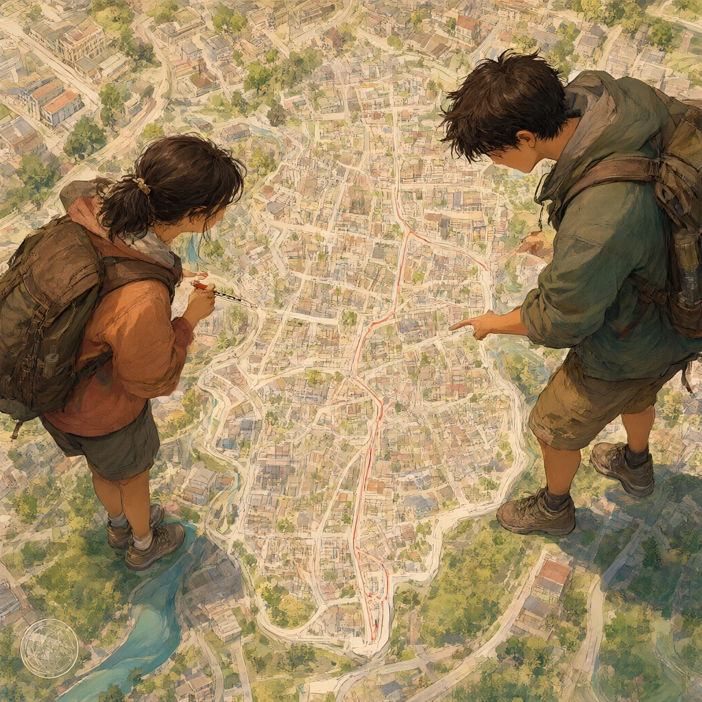
The city of Rushwater had a wall, a river, a market, and eleven thousand people, and on the map Teo Ferrin made for the council’s spring meeting it was a thumbprint. He had worked from the standard sheet, the big one covering the whole coast down to the far kingdom, and the square that Rushwater lived in was one and a quarter inches across.
He drew the wall, the river bend, the four bridges, the two harbours and the road north, and the city came out a grey thumbprint with a name beside it in letters smaller than the word that said which country it was in. “They asked for a map of the city,” Nissa said, at his shoulder.
“They asked for a map,” Teo said. “The sheet has a scale. I used it.” Surveyor Bram Oakes came and looked at it, and said nothing for long enough that Teo started explaining the grid. “Start again,” Bram said. “Not the sheet. The job.” The council had three jobs that spring, and Bram wrote them on the schoolroom board, the only room with a wall that was not made of money.
One: a pilot’s chart for the river and the estuary, because the sandbar had moved and two boats had found that out the hard way. Two: a division of the water allotment, because the drought rules gave every district a share in proportion to how much river it drew, and nobody had written that down.
Three: a map for the school wall, because Miss Ender wanted something to put her class’s geography on. “Three maps,” Bram said. “Teo, the river. Nissa, the water. Percival, the school wall, and I do not want to see it until it is finished, because you will copy whatever looks best.” “That is what maps are for,” said Percival, who was nine and believed this sincerely. He pulled the survey string off the wall and dropped it on the floor.
Teo’s chart broke first, and it broke on a Tuesday in the pilot house, with four pilots and the harbourmaster standing over a table. He had drawn the estuary the way the atlas drew it, on what Bram now named a Mercator grid, and one of the pilots got out his own copy and could not find the north bar at all. “Where is it?”
“Six miles below the light,” said Teo. “Six miles below the light on this, and I have run that channel for twenty-two years, and the north bar is at the third bend, a mile above the light.” He put a finger on the sheet. “If I took this out of the harbour tomorrow I would put her on the bar in the dark.”
Bram took the chart, turned it round, and did not fold it, which was worse. “Show me where you got it,” he said, and Teo fetched the survey slip he had copied from, and Bram laid the two side by side. “Here. You have put the bar six miles below the light. On the slip it is a mile above.
The estuary did not move, and the grid did not move it, because no projection on earth can slide a sandbar from one side of a lighthouse to the other. You copied the wrong line off the wrong sheet. That is not a bad map. That is a true drawing of a number that was never there.” “So it is a lie,” said Teo.
“So it is a mistake, and you can fix a mistake. A projection is not a mistake.” Bram laid a finger on the grid. “A Mercator map is built to hold a true bearing, a compass direction, all the way across the sheet, and it keeps the angle at every corner true as well.
What it cannot do is give you a true distance, because you cannot keep a true bearing and a true distance at once on a round earth. Farther north, the paper line is stretched and is longer than the true ground distance it represents, so using the middle’s scale will overstate the miles. No amount of care will fix it. It is not you doing it wrong. It is the sheet.”
He turned the sheet so the pilots could all see it. “Here, near the middle, one inch is very nearly a mile and a half. Up where the coast turns, one inch covers less ground, and the stretch gets worse the further north you go. And watch the area, not just the length. When you stretch every length by two, the area is stretched by four, because two times two. The longer the distance, the worse the answer—and that is arithmetic, not carelessness.”
Nissa’s map was the other bargain. Where Teo’s spent distance to keep direction, hers was an equal-area map, built to spend shape to keep size, and it looked wrong to everyone.
She had a paper disc cut from an old survey sheet, exactly one side in a hundred of the region. She laid it on Teo’s chart and it covered the north bar, the harbour, and a good deal of the sea, because on his map the north is spread wider than it is deep.
Then she laid the same disc on her own map, and no disc ever covered more or less ground than its hundredth, because an equal-area map lets the shapes go wrong and not the areas.
Her coastline looked as though somebody had sat on it. The south came out stretched flat and wide, the islands as long smears, the mountains leaning sideways like men in a wind. But the four districts came out the sizes they really are, and when Bram checked them every one came out a quarter, and the shouting at the hall stopped inside four minutes.
“Every district is a quarter,” said the miller. “Every district is a quarter,” said Nissa, “because there are four of you and you share the river between you, and I built the map so you would come out a quarter each, fat or thin on the paper.” “And Teo’s says the hill district is the biggest thing in the county.”
“Teo’s says the map of the hill district is the biggest thing on the paper,” said Bram. “Which is why the miller took a third of the water on Tuesday, and why the hill district has been up at the hall for a fortnight being told it is a monster robbing its neighbours. It is not a monster. It is a shape.”
Percival’s school map was not ready on the day it was needed and was finished on the day it was wanted, which is how it came to be the best of the three. He had made it from a globe. Bram had given him a school one with a cracked cheek and told him to watch a thing get flat.
Percival cut the paper cover off and tried to lay the shell out on the table, and it fought him, and the part around the north pole had torn and gone soft and stretched out of shape, while the part at the equator had stayed neat.
“Teo’s map does this to a real place,” he told the class, holding up the ruined shell. “Up here everything gets bigger. Not more land, more paper for the same ground, so the land looks enormous while the ground under your feet is the same ground as at the bottom, where everything got squashed.” “That is the Greenland,” said Miss Ender.
“That is Greenland, and that is the north end of Rushwater’s own coast, and it is why Teo’s sheet shows more country up there than a mile for a mile should show.” He set the shell down. “You cannot have all of it. Keep the shapes true and the sizes go wrong, or keep the sizes true and the shapes go wrong.
A flat map has to pick one and pay for it, and the only bad flat map is the one that pretends it paid nothing.”
His finished school map had separate scale bars for different parts of the county, and along the bottom, in careful letters, GOOD FOR: SEEING THE SHAPE OF THE COUNTY. BE CAREFUL WITH SIZE. And beside it a second map of the city alone, where a street was a hand’s width across and the wall of Rushwater ran the length of his own forearm.
The council took all three on the first dry day in April and hung them in the hall. Teo’s river chart went up first, and Bram told the pilots to use it for direction, to keep their own eyes for distance, and to remember that the further north they took it, the more ground it showed them at a time. The pilots argued for twenty minutes and asked for a corrected copy.
Nissa’s water map went up second, and the miller looked at his own district, and then at the hill district, and said, “Well. So we are the same,” in a voice nobody in the hall had heard him use, and the hill district sat down.
“It is the same on her map because it is the same on the ground,” Nissa said. “I only stopped the paper from arguing about it.” And Percival’s went up last, above the river, and the schoolchildren came in and found their own streets on the city map, at a size where a street can be a street.
Afterwards the old thumbprint came down off the wall, and Teo put it in his satchel rather than the bin, because Bram had told him to keep it. “You made that in a day,” Bram said as the meeting broke up. “I made it because the sheet told me how, and I never asked the sheet what it was for.”
“The sheet is not a liar, Teo. It is a tool with a price on it, printed in the stretch.” Bram took his coat off the hook. “Any one of those three alone is a lie. Hang them together and they stop being lies and turn into choices, and a choice can be defended by anybody who knows what was given up to make it.”
Down at the river gate, the eleven thousand people went about their day inside a wall a mile and a half round. Its true size was now shown, after all that arguing, on three pieces of paper in three ways, none of which anyone has to be ashamed of, and all three of which somebody has to know how to read.